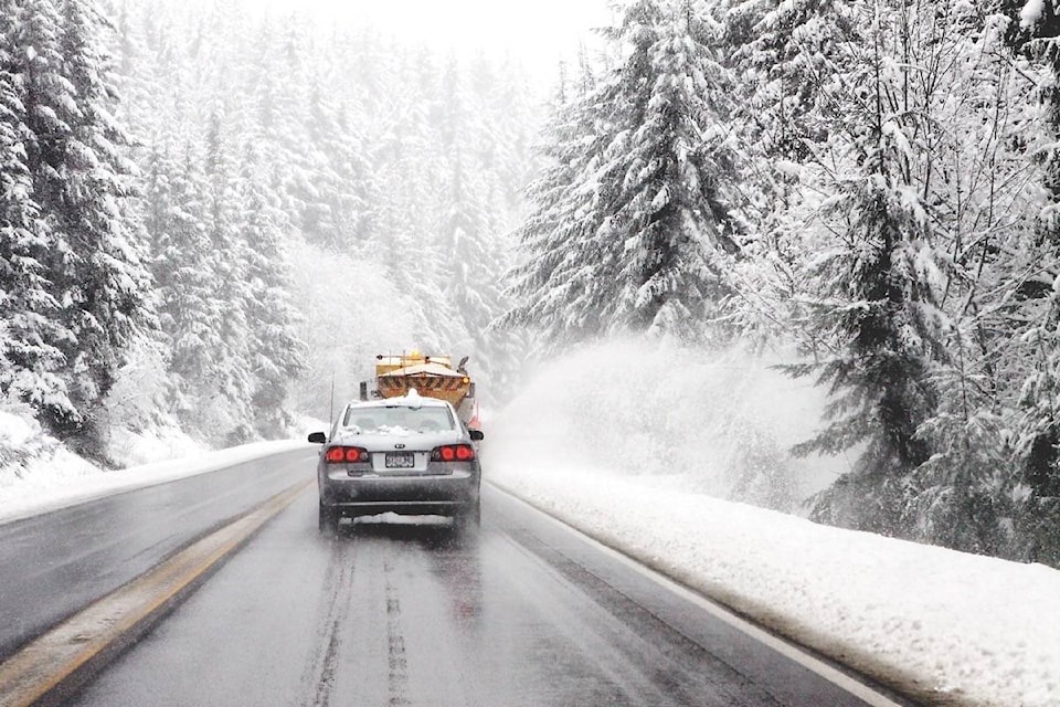
UPDATE: 3 p.m.
A weather statement issued by Environment Canada Friday morning has been upgraded to a weather warning.
A heavy snowfall warning is now in effect for the Okanagan, Shuswap, Similkameen, South Thompson, East and West Kootenay, Nicola, Fraser Canyon, Arrow Lakes, Boundary and Elk Valley.
Environment Canada is predicting snowfall amounts of between 15 and 25 centimetres.
“A strong Pacific low-pressure system will move eastward across northern Washington State on Saturday. Snow is forecast to begin early Saturday morning and persist through Saturday night. In addition, strong winds and areas of blowing snow are expected with the low. Total snowfall accumulations for the valleys will range between 10 to 20 cm with locally higher amounts, while the high elevation highway passes can expect 20 to 30 cm. The snowfall is expected to ease Sunday,” reads the weather warning.
This includes a travel advisory for the following mountain highways;
- Highway 3 - Paulson Summit to Kootenay Pass
- Highway 3 - Hope to Princeton via Allison Pass
- Coquihalla Highway - Hope to Kamloops
- Okanagan Connector - Merritt to ��������
For more information on driving in winter conditions,
For up to date details on highway conditions and road closures check
You can also monitor for alerts, warnings and updated forecasts.
Send your best news tips, photos and video to us by clicking the Contact tab at the top of this page.
—-
ORIGINAL: 6 a.m.
Wintry weather has returned.
All points across the Okanagan and Shuswap are expected to be hit by a significant snowfall this weekend and forecasters are saying it will be followed by a strong surge of arctic air.
“A strong Pacific low pressure system will move eastward across Washington State on Saturday,” reads an alert from Environment Canada, issued early Friday morning.
“Snow is forecast to begin early in the day and persist through Saturday night. At the same time a fresh blast of Arctic air will arrive Saturday night bringing strong winds and areas of blowing snow.”
At this time total snowfall amounts are forecast to range between 10 and 20 cm with locally higher amounts possible. The snow will ease on Sunday but the strong winds will persist. Cold, dry weather and generally light winds are in store for early next week.
Along with the snow warning for the Okanagan and Shuswap, there are alerts for a number of mountain passes throughout the Interior, including Highway 3 - Paulson Summit to Kootenay Pass and then Hope to Princeton, via the Allison Pass.
The Coquihalla Highway is expecting a lot of snow from Hope to Merritt, then Merritt to Kamloops and along the Okanagan Connector.
For more information on driving in winter conditions,
For up to date details on highway conditions and road closures check
You can also monitor for alerts, warnings and updated forecasts.
Send your best news tips, photos and video to us by clicking the Contact tab at the top of this page.
Please continue to monitor alerts and forecasts issued by Environment Canada. To report severe weather, send an email to ec.tempetepacifique-pacificstorm.ec@canada.ca or tweet reports using #BCStorm.
To report a typo, email:
newstips@kelownacapnews.com.
newstips@kelownacapnews.com
Like us on and follow us on .


