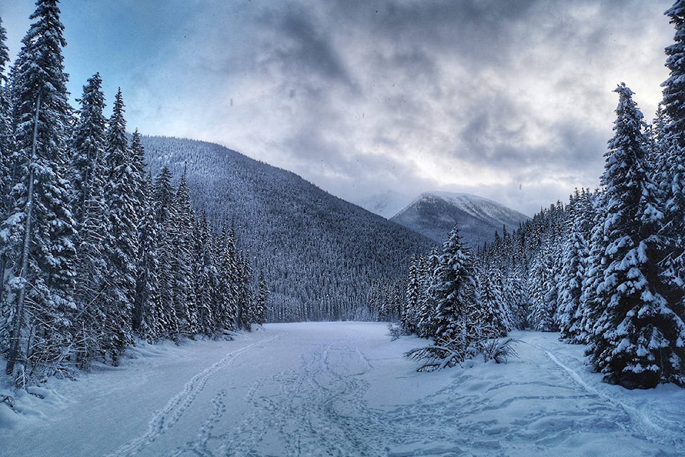
It might be a sunny and warm January so far across the Okanagan and Shuswap, but according to Environment Canada all that is about to change.
The warm weather will continue throughout the weekend with temperatures above average for this time of year. However, by late next week meteorologist Doug Lundquist says winter will return and with it cold temperatures and the possibility of snow.
“We are right in the dead of winter, this is supposed to be the coldest day of the year (Jan. 15) and we are way above average for temperature,” he explained.
Environment Canada is forecasting a big change in the weather by Wednesday where temperatures could drop down to -8 C.
“We are going to switch back into winter and we should expect some snow events that are typical for this time of year,” said Lundquist. “The cold air will start later next week and while we aren’t forecasting a major arctic outbreak, people should get their shovels and winter jackets ready.”
He added the possibility of cooler temperatures could come as good news for those in the ice wine industry, who need the mercury to dip to -8 C or colder for harvesting stipulations.
While difficult to predict, Environment Canada is forecasting a colder than average February where temperatures in �������� near Okanagan Lake usually sit at 0 C.
“It will probably be a few degrees colder than average in February,” explained Lundquist. “We might see an arctic outbreak during the month and temperatures will probably fluctuate between average and cooler than average.”
In the meantime, the Okanagan and Shuswap will see weekend temperatures sit around 3 C.
“Winter isn’t over till it’s over,” added Lundquist.
READ MORE:
jen.zielinski@bpdigital.ca
Like us on and follow us on .


