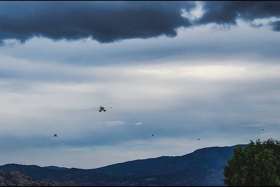
As wildfires continue to tear through the Okanagan, some welcome rain and lower temperatures are forecasted this week — though it’s likely not enough to provide any significant reprieve.
“Unfortunately, I don’t think what we’re looking at in terms of this particular weather pattern is going to give us the widespread, huge amounts of rain that may make a difference,” said Environment Canada meteorologist Geoff Coulson.
Rain is expected through the afternoon and tonight, but with it comes a wind shift and potential thunderstorms that could exacerbate already aggressive fire conditions. Between 5 and 10 millimetres of precipitation are expected for most areas.
READ MORE: Mount Law fire now 800 hectares, limited structural damage reported
READ MORE: Significant structure loss on Westside due to White Rock Lake wildfire
Typically, the Okanagan sees about 32 millimetres of rain throughout August but halfway through the month, there has only been about eight millimetres.
“It doesn’t look like large amounts are expected for �������� or other parts of the Okanagan,” said Coulson. “Whatever positive impacts that rain may bring could be negated by the wind shift and lightning activity. It really is a six of one, half-dozen the other situation.
Some good news is potentially on the way though, as a system coming in off the coast may bring more significant showers this weekend.
“It’s a little too early to get a sense of how widespread the showers are going to be or what kind of amounts we could be dealing with,” said Coulson. “That is something we’ll be watching closely.”
Several fires are currently burning across the Okanagan, prompting thousands of evacuations.
In the south, the Nk’mip Creek fire is burning at almost 18,000 hectares. The Central Okanagan is dealing with the 800-hectare Mount Law wildfire and just to the north the White Rock Lake blaze is burning at more than 62,000 hectares.
michael.rodriguez@kelownacapnews.com
Like us on , follow us on and subscribe to our daily newsletter.


