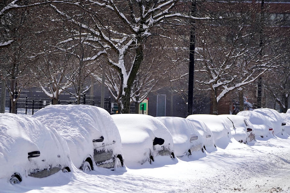
After an unseasonably warm start to the winter, Environment Canada has issued a snowfall warning for the Okanagan with heavy precipitation forecast for the week of Jan. 8.
Heavy periods of snowfall is expected intermittently from Monday Jan. 8 until the morning of Jan. 10. Snowfall is expected to be most significant overnight on Jan 8, before tapering off.
Environment Canada forecasts a dump of approximately 10cm of snow over the Shuswap, North Okanagan - including Vernon, Central Okanagan - including ��������, Westbank, Peachland, South Okanagan - including Osoyoos, Similkameen, Manning - Skagit Valley, Boundary and East Kootenay regions.
The government warns that rapidly accumulating snow could make travel difficult in some locations due to low visibility and deep snow.
READ MORE:
Highway alerts and winter storm warnings are in effect for the Coquihalla, Highway 3, the Connector between �������� and Merritt and the TransCanada Highway from Eagle Pass to Rogers Pass.
For more information on alerts and forecasts issued by Environment Canada visit , and
Black Press Media spoke with meteorologist Armel Castelan from Environment Canada about the snowfall warnings and cold temperatures expected in weather alerts issued for Monday, January 8th.
Snowfall❄️Warning🌧️ Monday through Wednesday: check out the 'new' red clouds and mountains via for: 10 cm snow🏂, and 15-20 cm snow🛷.
— DriveBC (@DriveBC)


