Update 4 p.m.
The special weather statement has been upgraded by Environment Canada to a severe thunderstorm watch.
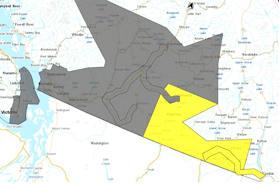
Conditions are also favourable for rotation in the atmosphere which may cause funnel clouds and there is a slight risk of tornadoes over the Boundary and West Kootenay areas.
Meteorologists will be watching conditions overnight and tornado watches and warnings will be issued if necessary.
Area residents are being reminded that thunderstorms can produce gusting winds, hail, falling trees, and flash flooding.
A special weather statement is being issued for the southwest Interior of B.C.
Environment Canada is forecasting a persistent upper disturbance off the coast that will form conditions favourable for the development of thunderstorms over the next few days in Southern Interior B.C.
The region from the Similkameen north through the Okanagan to the Thompson Cariboo can expect heavy downpours, the risk of hail and gusty winds.
Residents are warned that localized thunderstorms might lead to water pooling.


