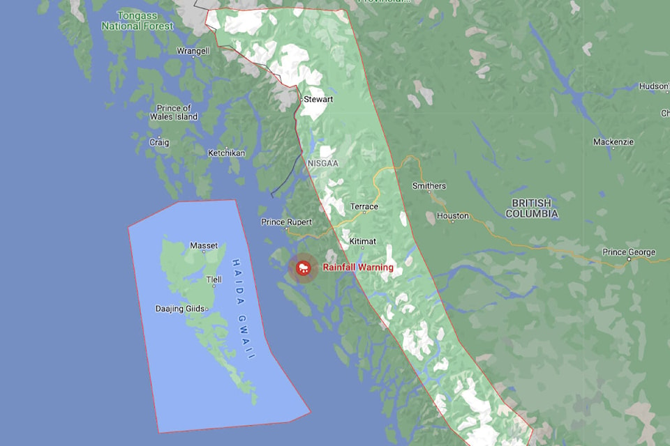
North Coast, Central Coast, Coastal Inland residents and Haida Gwaii, including Prince Rupert, Port Edward, Stewart, Terrace and Kitimat can expect to see up to 100 mm of rain over the next 24 hours.
In a Special Weather Statement, Environment Canada (EC) said “a vigorous frontal system will approach the BC North Coast this morning (Oct. 26).”
It is the trailing cold front, however, that will intensify the storm into the evening hours bringing predicted even heavier rainfall and winds of up to 80 km/hr on exposed sections of the North Coast and up to 110 km/hr on exposed sections of the Central Coast.
“The strong winds will weaken and the heavy rain will taper off to showers by early Thursday morning as the front moves out of the area,” the EC statement said.
The unsettled weather will not be done with that, however. A second atmospheric river over the Pacific Ocean south of the current one is making its way toward Vancouver Island and the south coast. It is expected to bring a “high concentration of moisture” to the Island and Lower Mainland by Sunday morning.
“Heavy downpours can cause flash floods and water pooling on roads. Localized flooding in low-lying areas is possible.”
Motorists are being advised to exercise caution if travel is required.
editor@interior-news.com
Like us on and follow us on


