The weather , and then it was quite warm and now ŌĆō it is positively ŌĆśaverageŌĆÖ.
Environment Canada meteorologist Alyssa Charbonneau said normal temperatures for this time of year are a high of 4 C and a low of -3 C, so this weekŌĆÖs weather is right on schedule.
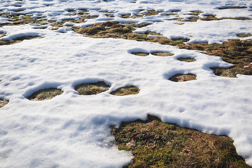
ŌĆ£After being really cold and then having it really warm up, we are back in to more seasonal temperatures,ŌĆØ said Charbonneau. ŌĆ£During the day, getting above freezing and melting and then overnight freezing again. That is expected to continue right through the week.ŌĆØ
She said there is currently a 30-40 per cent chance of rain or flurries each day this week.
The form of precipitation will depend on what time of day it falls and whether or not the mercury has dipped below zero.
ŌĆ£The forecast temperatures at night are all to drop below freezing, so if we have flurries forecast at night it is a definite possibility, whereas during the day it will likely be rain showers.ŌĆØ
As the weekend comes, the region is forecast to dry out once again.
ŌĆ£Saturday and Sunday are showing as mainly cloudy in the forecast,ŌĆØ said Charbonneau.
ŌĆ£The weather is very typical for this time of year.ŌĆØ
She warns that the daily pattern of melt and freeze and melt and freeze can leave roadways and sidewalks super slick and dangerous, especially early in the morning.
Black ice is an ongoing concern for all those on feet and on wheels.
For more information on driving in winter conditions,
For up to date details on highway conditions and road closures check
You can also monitor for alerts, warnings and updated forecasts.
Send your best news tips, photos and video by hovering over the Home tab and clicking Contact Us.


